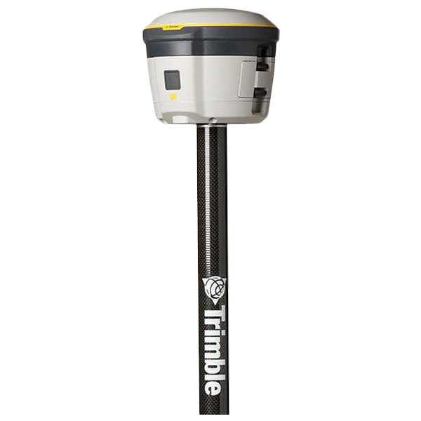
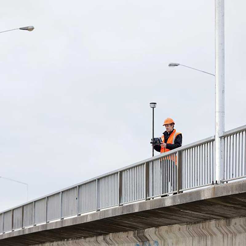
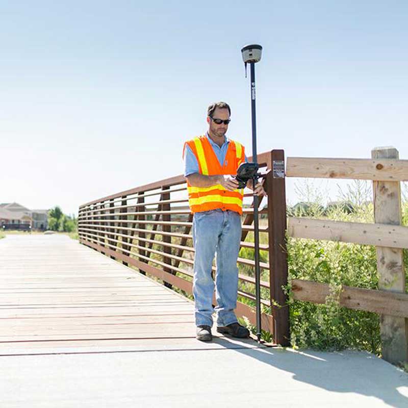
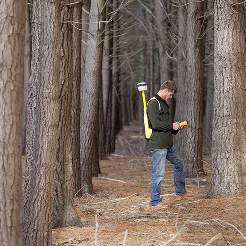
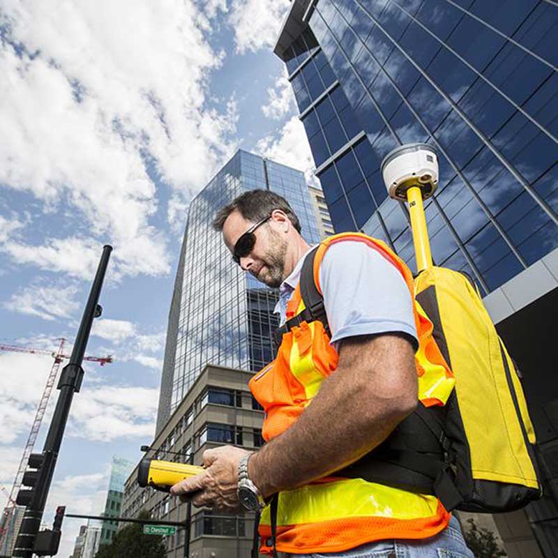
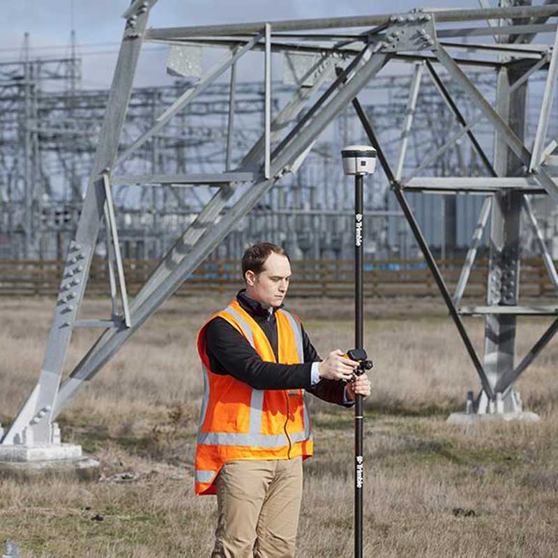
The R2 location receiver provides high-precision positioning data (between sub-meter and centimeter accuracy) in a robust and very compact housing.
It is easy to use and can communicate via Bluetooth with any smart phone, tablet, PC, or rugged field terminal, as well as Trimble controllers.
It also includes a web server and a WiFi link that allow it to be operated from a simple web browser.
The R2 receiver supports multiple satellite constellations (GPS, Glonass, Galileo, etc.) It can use different correction sources (SBAS, RTK, RTX, etc.) and is thus able to provide accurate real-time positions worldwide without post-processing.
The data collected can be integrated into Trimble software and GIS, or into third-party applications (Arc GIS, JMap, etc.)
Scroll down for additional pictures.
Applications
For precise positioning of equipment or particular sites, in connection with mapping and GIS tools, in various fields of the public or private sector, environmental agencies, administrations and companies.
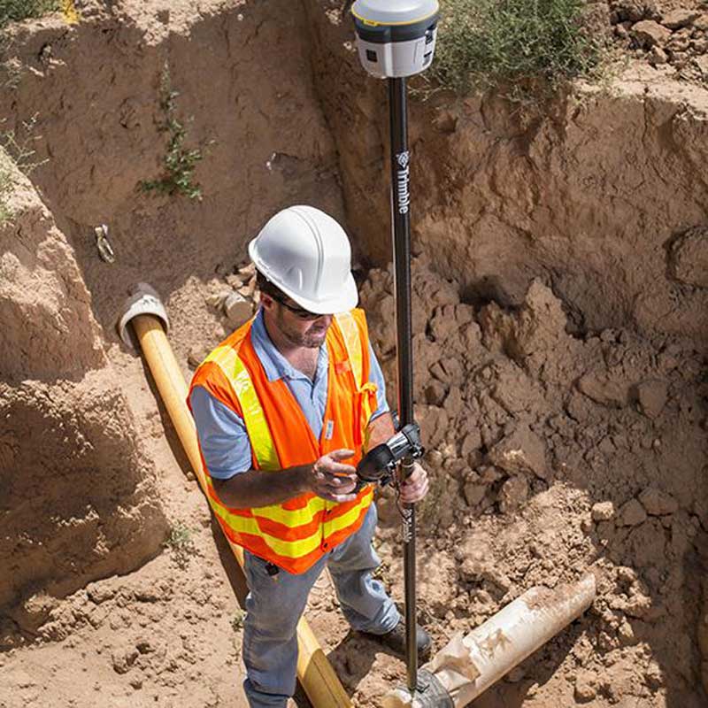
This may involve urban equipment (buried pipes and cables, manholes, fire hydrants, valves, etc.), forest surveys, watercourses, etc., for asset management, maintenance or inventory applications.
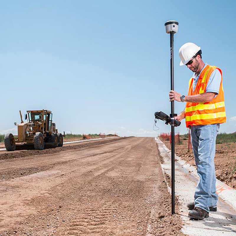
The R2 receiver is also intended for surveyors of precision topographic surveying operations (roads, mines, construction sites, etc.)
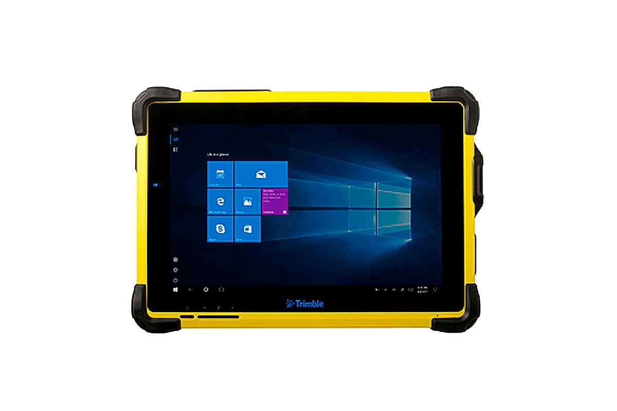
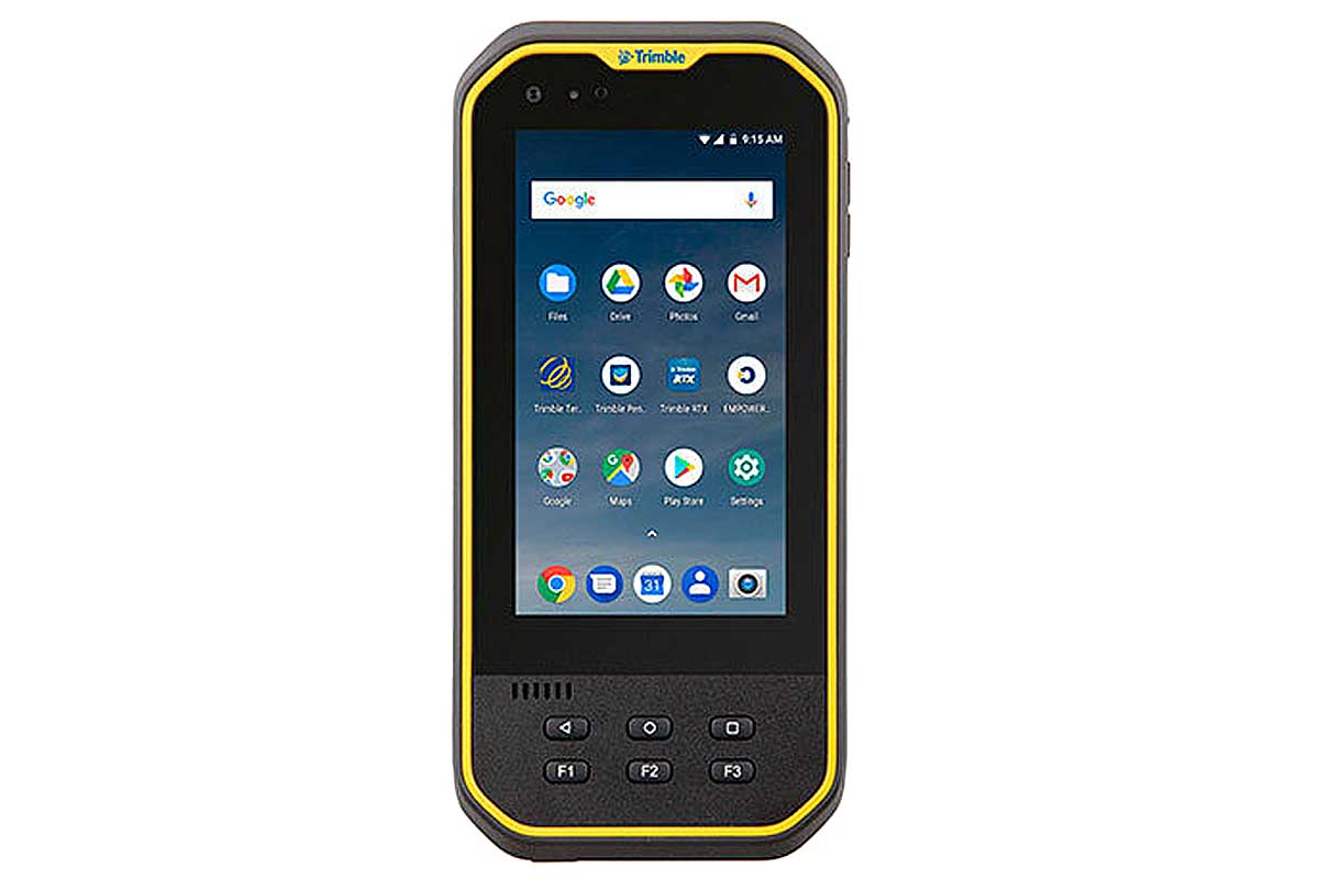
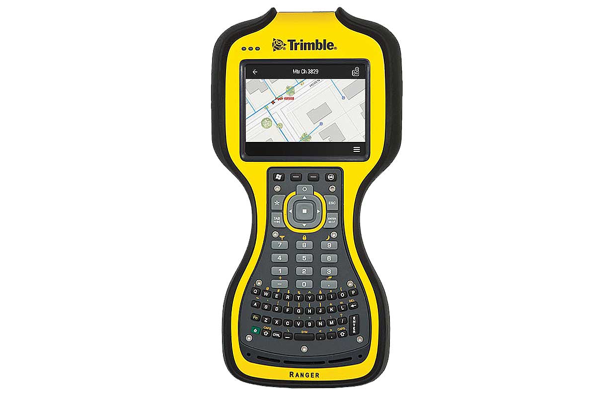
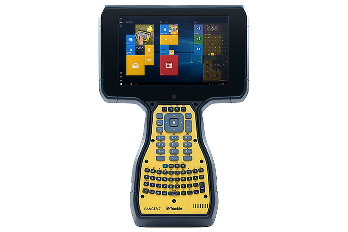
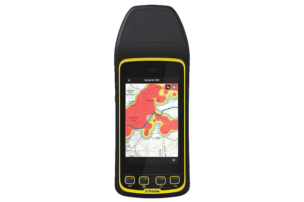
It can be combined with various equipment offered by Trimble such as radios, controllers, ruggedized terminals, etc.
Main benefits
- Professional level of accuracy: able to provide positions with sub-metric to centimetric real time accuracy
- Advanced FloodLight technology to reduce satellite shadows (dense cover, aerial, trees, buildings...)
- Compact, portable, battery-powered, cable-free solution with integrated antenna
- Flexible use: works on top of a posts, on a backpack or on a vehicle
- Quick to set up and easy to use
- Selection of GNSS accuracy and performance according to application needs
- Variety of devices can be used for data collection (any mobile device connected via Bluetooth technology)
- Integrated WiFi link allowing configuration and operation from a simple Internet browser (on smart phone, tablet, PC)
- Field replaceable battery
- Can be shared between several devices
Specifications
MATERIAL AND ENVIRONMENT
- Dimensions (Diameter x Height): 14 x 11.4 cm
- Weight: 1.08 kg (receiver only)
- Operating / storage temperatures: -20°C to +55°C / -40°C to +75°C
- IP65 sealing level
- Anti-shock (2 m fall on concrete) and anti-vibration protection
POWER SOURCE
- Removable internal Lithium-Ion battery
- Autonomy: about 5 hours
- External power supply via miniUSB connector
COMMUNICATIONS, RECORDER FUNCTION, INTERFACES AND INDICATORS
- USB 2.0 port
- Bluetooth communication (wireless exchanges with phones, tablets, controllers...)
- Simultaneous WiFi communication, Client and Access Point modes
- Network protocols HTTP (web server), NTP, TCP/IP, UDP, PPP, PPPoE, etc.
- Email alerts
- Built-in 450 MHz UHF receiver radio (optional)
- External support for GSM cellular modems
- Internal data storage memory (57 MB, including firmware)
- Single start button on/off
- LED light indicating the status of the receiver (according to color and flashes)
GNSS
- Base and Rover Mobile configurations
- L1/L2 GNSS receiver and antenna
- Systems: GPS, GLONASS, Galileo, BeiDou, QZSS
- Trimble Maxwell 6 Chip with Advanced GNSS Signal Processing
- GNSS channels: 220, parallel tracking
- Correction sources: SBAS (4 channels), CMR, RTCM, QZSS, ViewPoint RTX
- Output Protocols: NMEA 0183, Trimble GSOF
- Horizontal / Vertical Positioning Accuracy:
— GNSS Static: 3 mm + 0.5 ppm RMS / 5 mm + 0.5 ppm RMS
— Post-processed kinematics: 10 mm + 1 ppm RMS / 20 mm + 1 ppm RMS
— RTCM RTK: 10 mm + 0.5 ppm RMS / 20 mm + 0.5 ppm RMS
— Trimble RTX: 2 cms / 5 cms
— SBAS: ± 50 cms / ± 85 cms
SUPPORTED PLATFORMS
- iOS, Android, Windows, WEHH
Related products
- Miscellaneous accessories: posts, tripods, suitcases and backpacks
- GNSS antennas, Radio antennas
- Controllers (Trimble TCU3 Series)
- Radios (Trimble TDL 450 Series)
- Trimble Ruggedized Terminals
- Trimble Software


